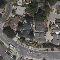
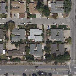
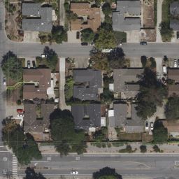
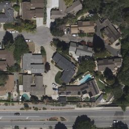
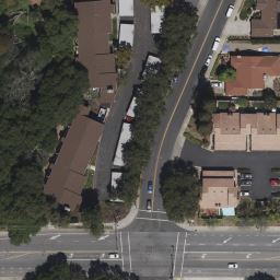
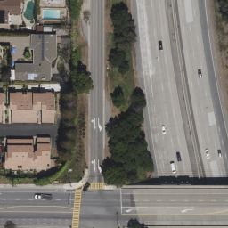
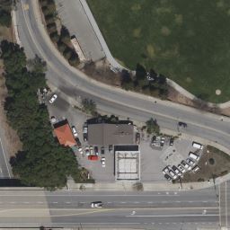
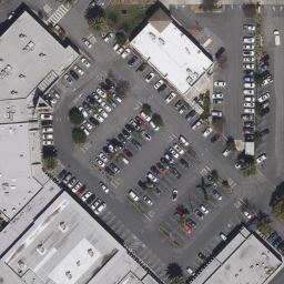
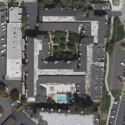
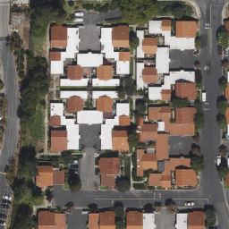
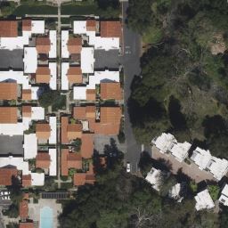
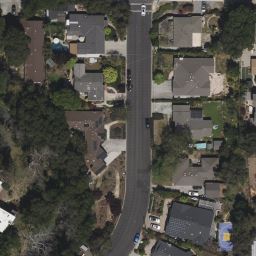
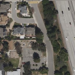
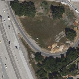
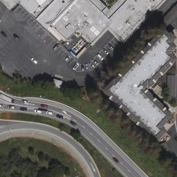
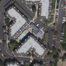
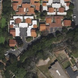
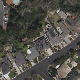
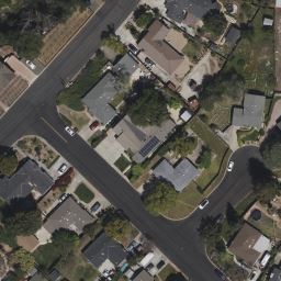
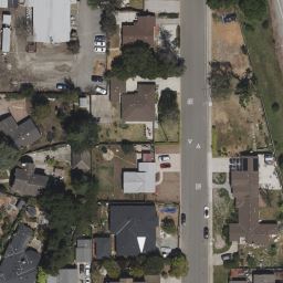
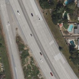
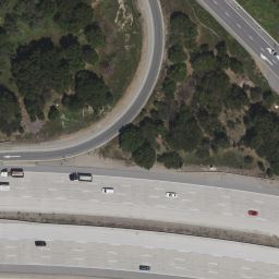
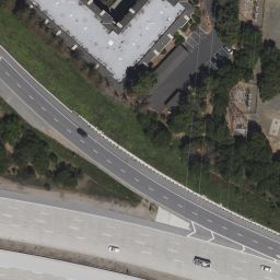
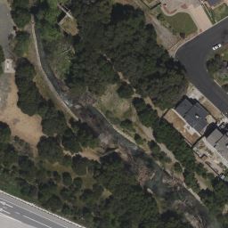
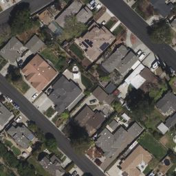
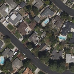
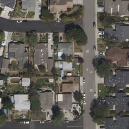
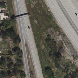
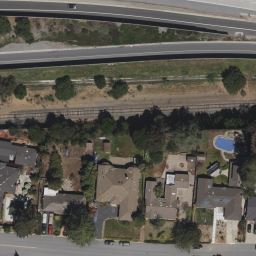
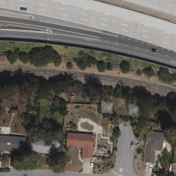
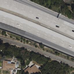
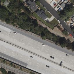
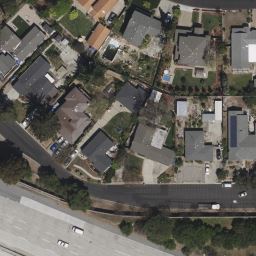
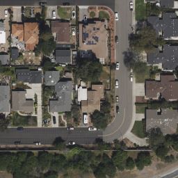
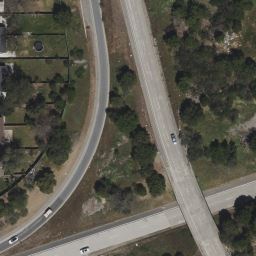
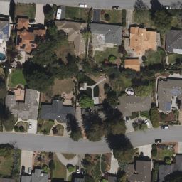
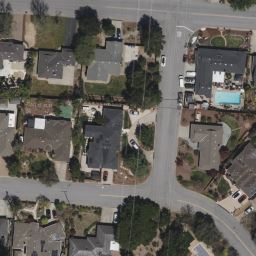
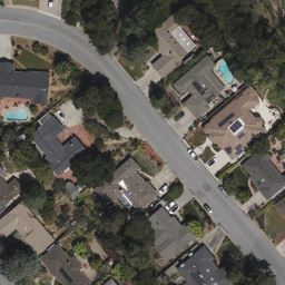
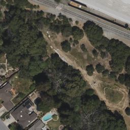
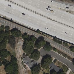
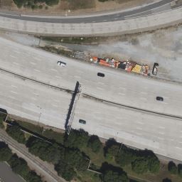
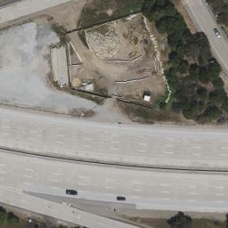
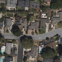
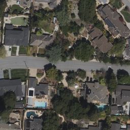
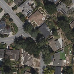
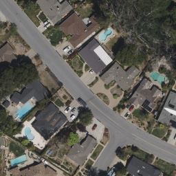
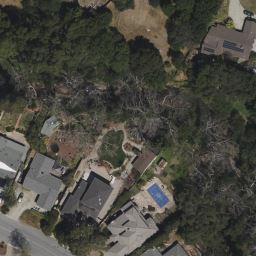

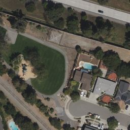
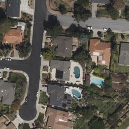
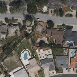
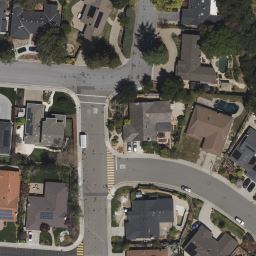
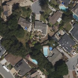
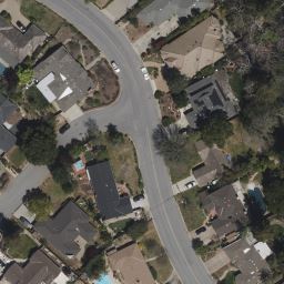
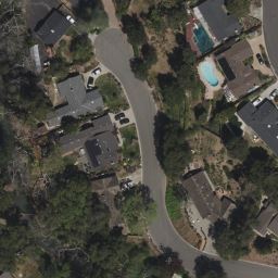
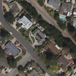
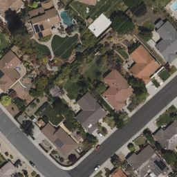
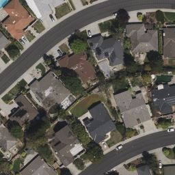
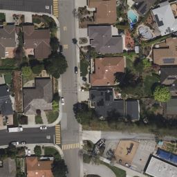
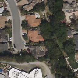
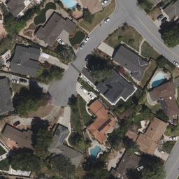
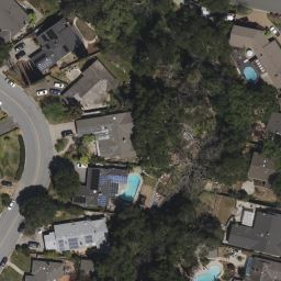
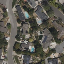
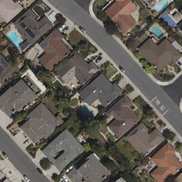
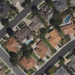
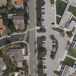
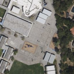
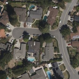
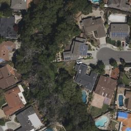
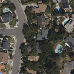
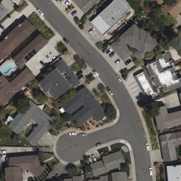
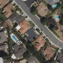
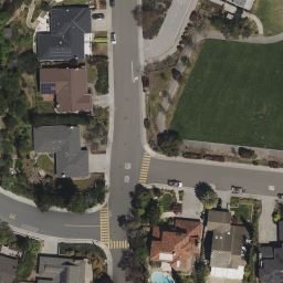
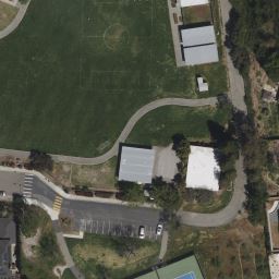
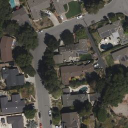
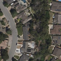
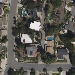
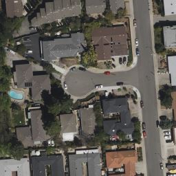
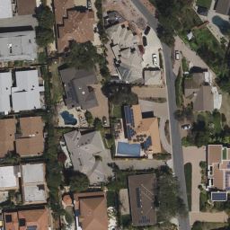
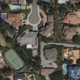
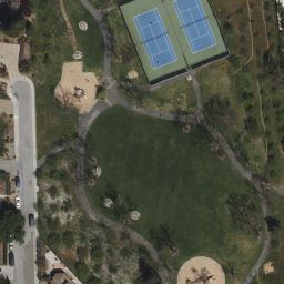
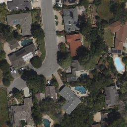
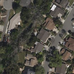
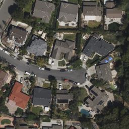
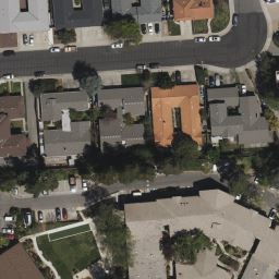
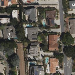
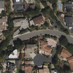
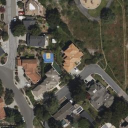
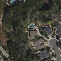
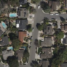
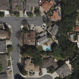
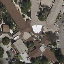
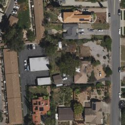
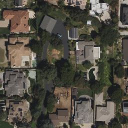
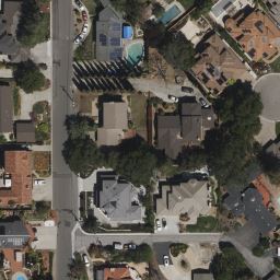
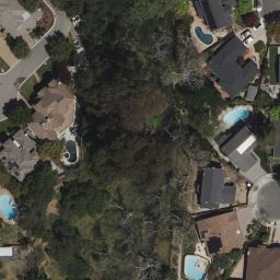
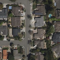
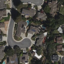
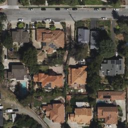
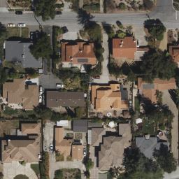
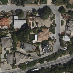
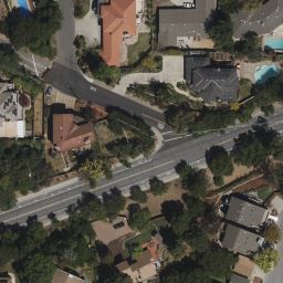
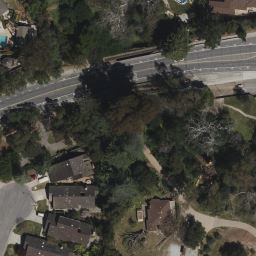
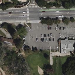
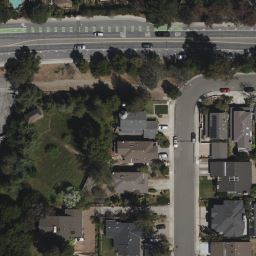
This is an aerial photo showing the area around where Stevens Creek crosses under Hwy 280. On the north is Homestead ave, Los Altos is on the left/west and Sunnyvale is on the right/east, though it might be Cupertino in the middle. South of 280 is Cupertino and at the bottom is Stevens Creek Blvd. The pictures is at 0.5 meters per pixel resolution and is made up of 144 tiles in an 18x8 arrangement. Click here for a google map of the area
|
|
|
|
|
|
|
|
|
|
|
|
|
|
|
|
|
|
|
|
|
|
|
|
|
|
|
|
|
|
|
|
|
|
|
|
|
|
|
|
|
|
|
|
|
|
|
|
|
|
|
|
|
|
|
|
|
|
|
|
|
|
|
|
|
|
|
|
|
|
|
|
|
|
|
|
|
|
|
|
|
|
|
|
|
|
|
|
|
|
|
|
|
|
|
|
|
|
|
|
|
|
|
|
|