Here are some resources and information regarding the long planned
and proposed route of the Stevens Creek Trail between Rancho San
Antonio Park and Stevens Creek Boulevard in Cupertino. The
completion of this route has been blocked by the Union Pacific Railroad
tracks that are part of a long spur to the Lehigh Permanente Cement
Plant from downtown San Jose. These train tracks carry at most 5
trains a week up and back to the cement plant.
The information presented here was assembled by former Cupertino
City Council Member (1993-2001) and Mayor (1995,1996), Don Burnett
with some additional pictures from Ross Heitkamp.
For now, this information is just presented with a small bit of
collected information and a sequence of photographs and aerial views,
leaving you to piece it all together. Your support is needed to
help push this trail connection to completion.
| File Name (Click to open) |
Description |
File Size |
|---|---|---|
| AccessToRanchoSanAntonioPark.html |
History of the trail through
Rancho San Antonio and the planned access from Stevens Creek
Boulevard. written by Don Burnett |
28 kB |
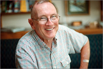
| DonBurnett.jpg |
Picture of Don Burnett near his
retirement from City Council in October 2001 |
36 kB |
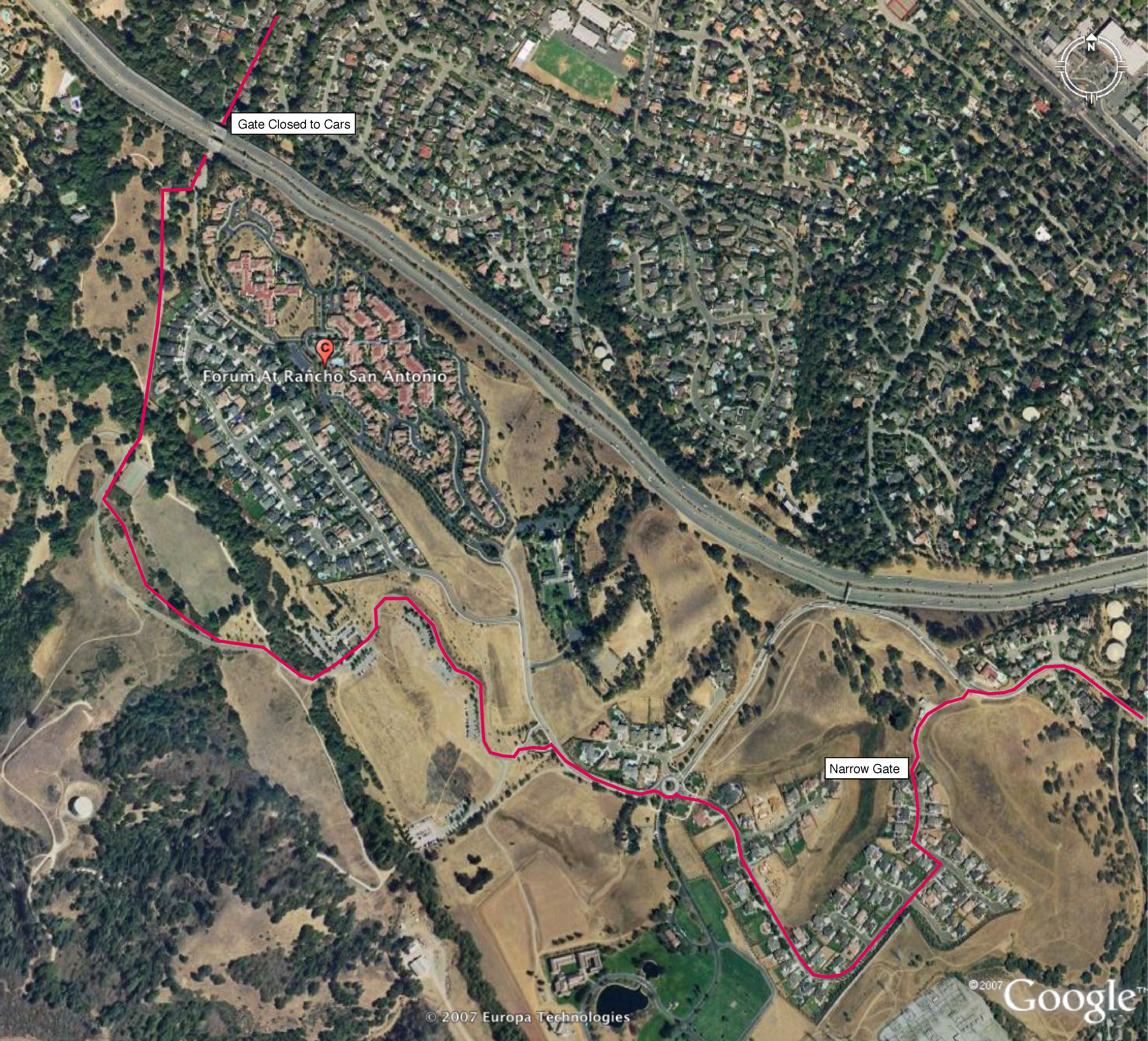
| RanchoPath,jpg |
Aerial photograph of Rancho San
Antonio Park, annotated to show how one can currently pass through the
park on bicycle from St. Joseph Avenue in the upper left corner to
Cristo Rey Drive and Foothill Blvd. off the edge on the right. |
3.7 MB |
| RanchoSanAntonioTrailSCT.html |
Email from May 2003 summarizing
the state of affairs in Rancho San Antonio as the start of work on the
Stevens Creek Trail began - and was eventually opened as the
Snyder-Hammond Loop Trail on 29 April 2006. |
32 kB |
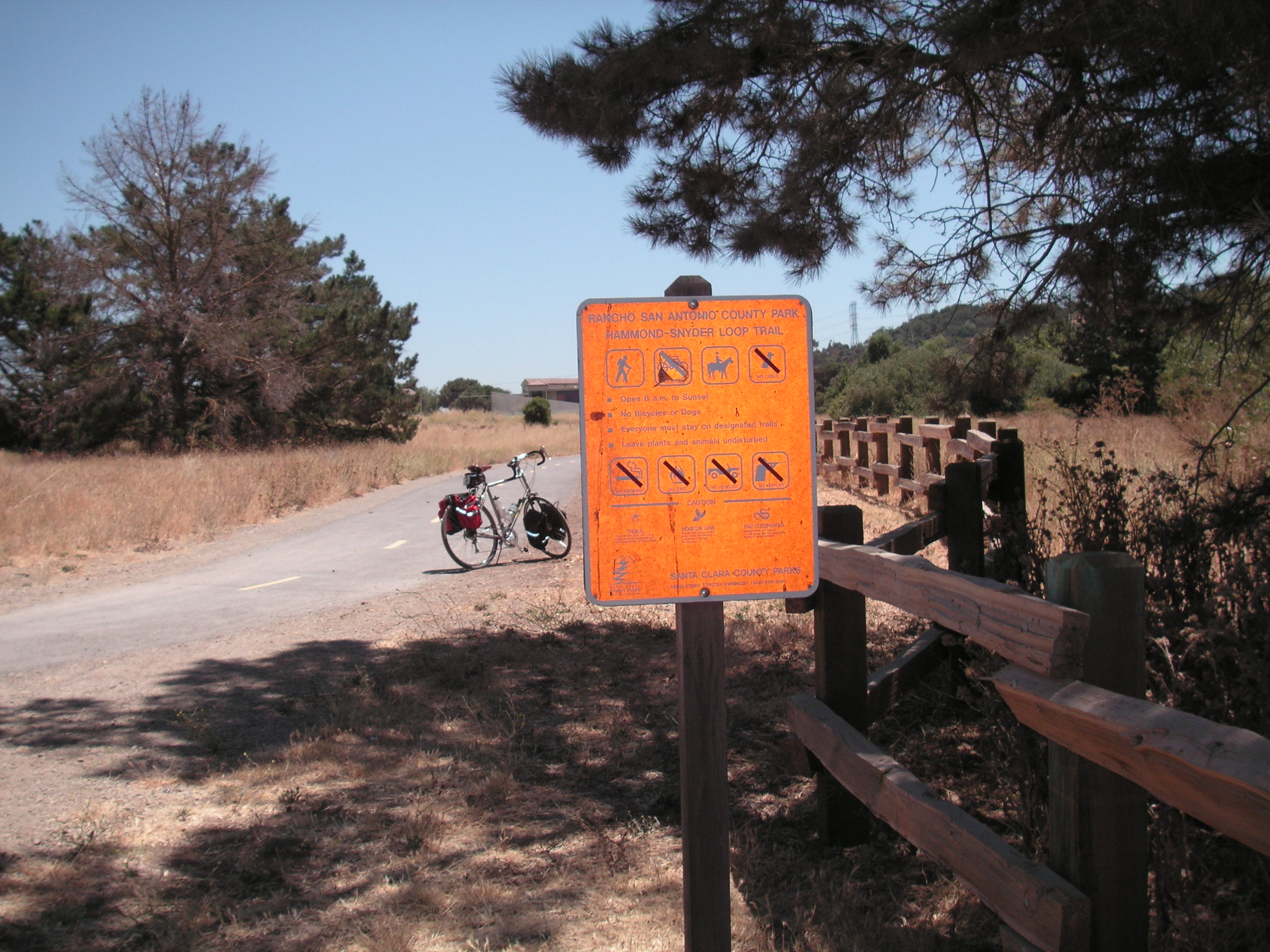
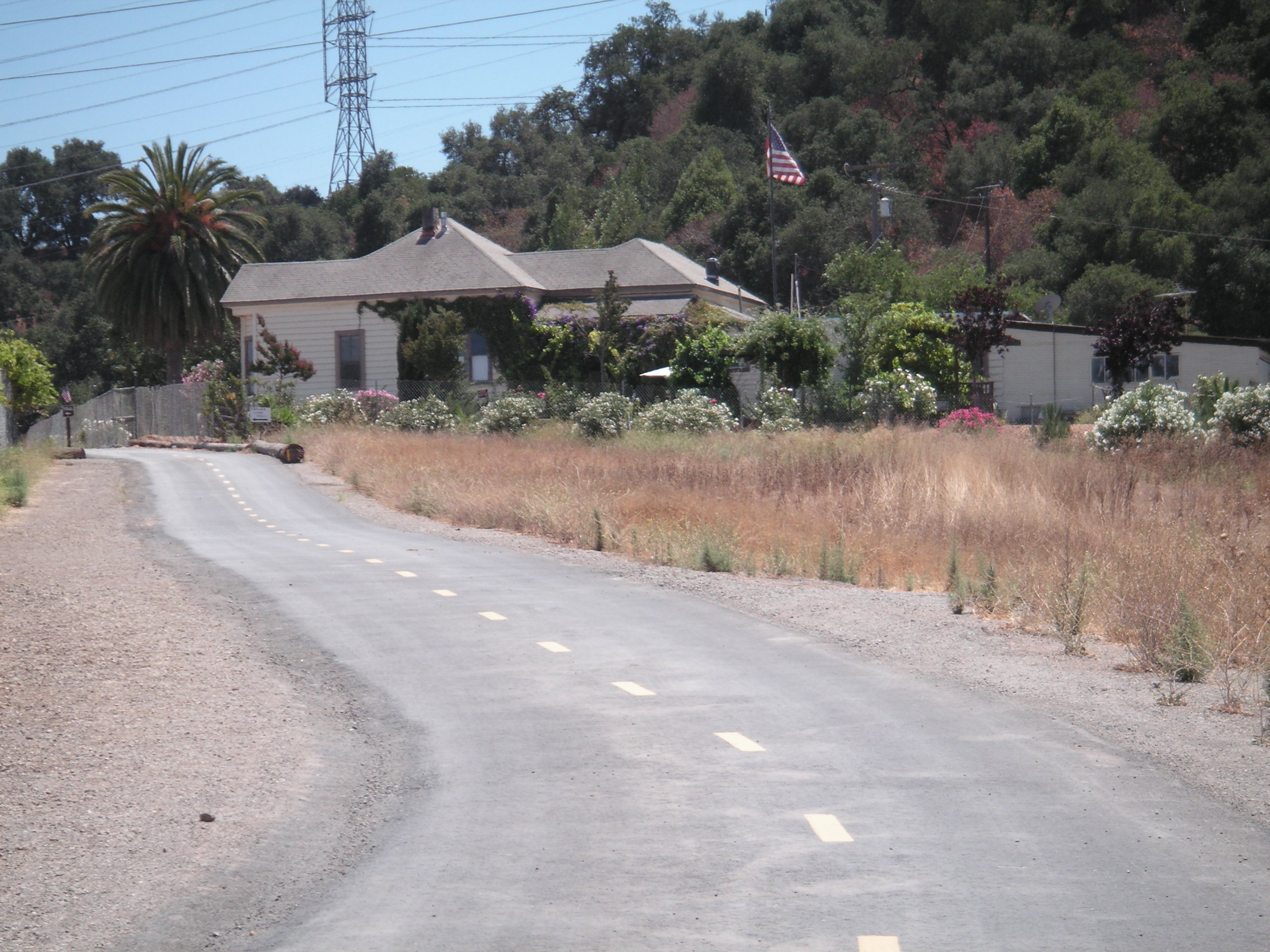
| EntranceToLoopTrailFromHorseParking.JPG |
Picture showing the "loop trail"
heading south from the parking lot in Ranch San Antonio towards the
Snyder-Hammond historical house and Stevens Creek Boulevard.
Notice that the sign shows "No Bikes Allowed" due to the lack of a
connection to Stevens Creek Boulevard at this time, despite the trail
being paved and painted for bicycle use. The full "Snyder-Hammond
Loop Trail", as it is currently called, is not paved to allow bikes. |
932 kB |
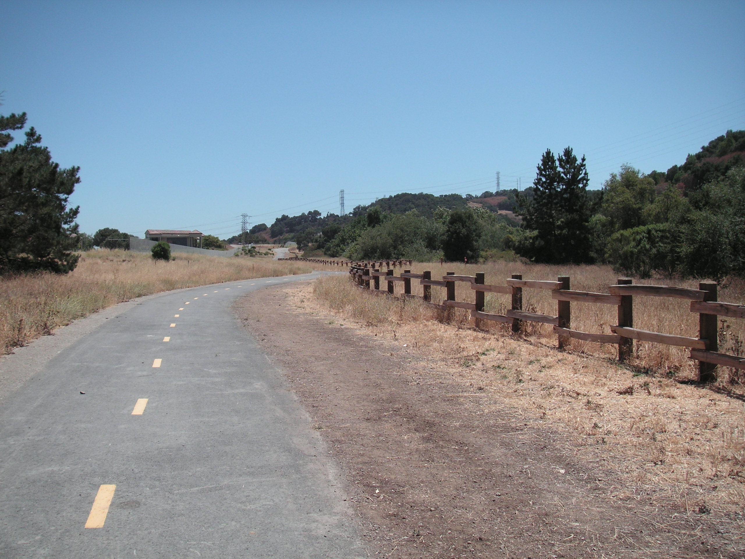
| LoopTrailSouthOfCemetery.JPG |
Further south on the loop trail
towards Stevens Creek Boulevard. |
940 kB |
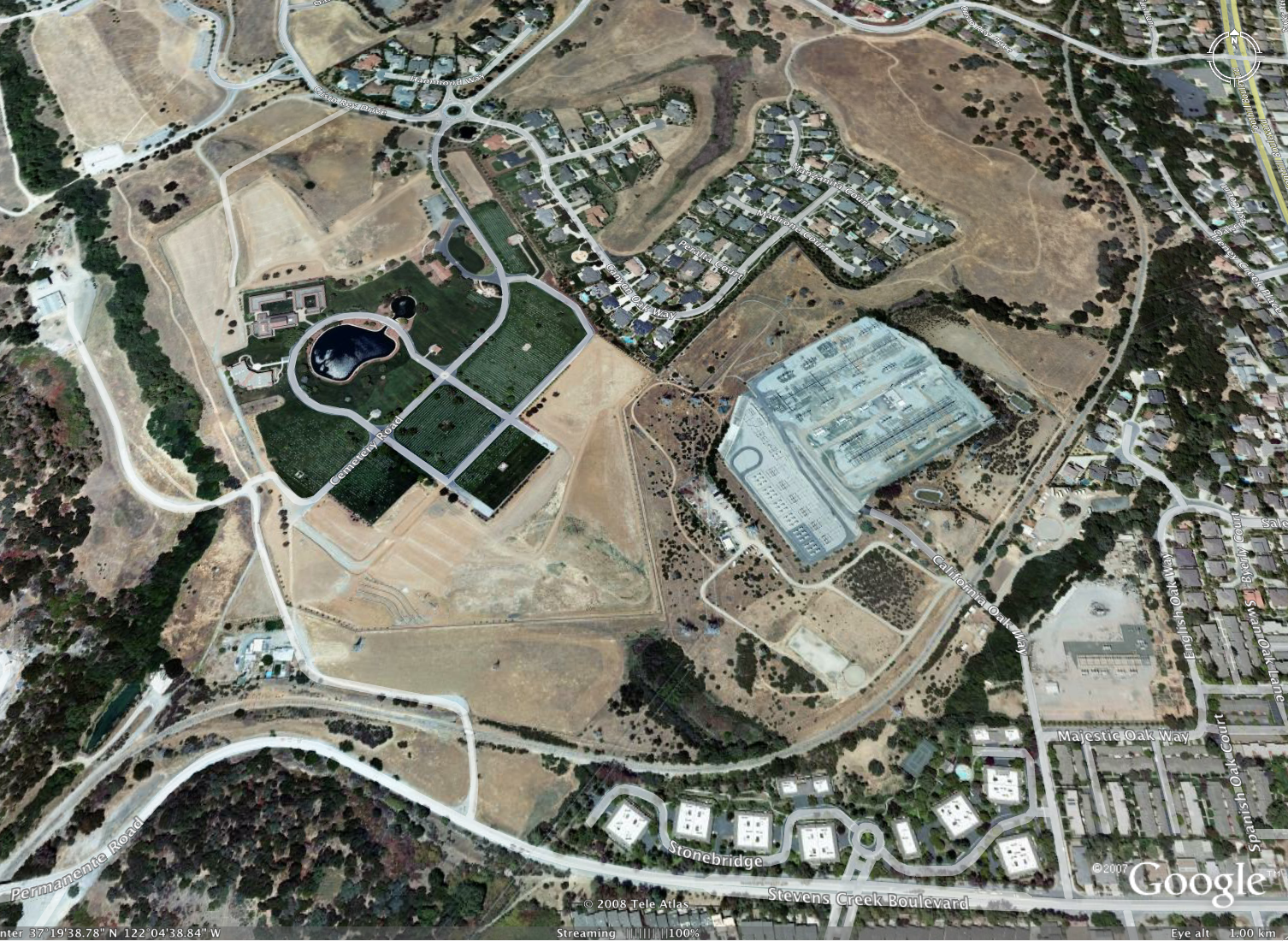
| SanAntonioOverview.png |
Aerial photograph showing the
southern end of Rancho San Antonio. Stevens Creek Blvd. is the
road at the bottom. The Union Pacific Railroad, UPRR, is the line
swooping down the right side and across to the left at the
bottom. The large green grass area in the middle is the Gates of
Heaven Cemetery. The large grey area to the right of that is a
P.G. & E. substation. The Oaks housing development is at the
top. |
1.5 MB |
| Snyder-HammondAccess.png |
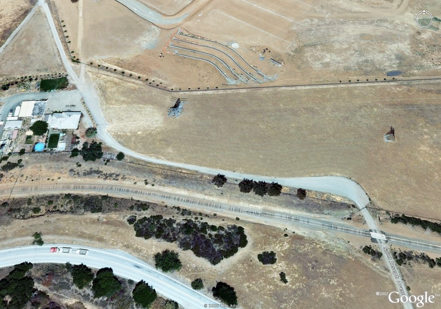
Close up aerial photograph
showing the Snyder-Hammond House and auxilliary buildings on the left
side with the UPRR tracks below it and Stevens Creek Blvd. below
that. Clearly visible is the current access road that runs
between the house and Stevens Creek Blvd. across the UPRR tracks.
Not so clear is that there is a locked gate the blocks travel on this
road for all but a few. |
3 MB |
| TrailLeadingToSnyderHammondHouse.JPG |
This photograph shows the
Snyder Hammond Trail as it leads up to the Snyder-Hammond house, where
the paved trail currently dead-ends. There is a dirt hiking trail
that branches off to the left just before the point where this picture
was taken. |
908 kB |
| TrailHouseToSCB.JPG |
This photograph shows the
current road heading down from the Snyder-Hammond house towards the
locked gate. The Snyder-Hammond Loop Trail is not routed along
this road, so this is only used for vehical access to the house. |
844 kB |
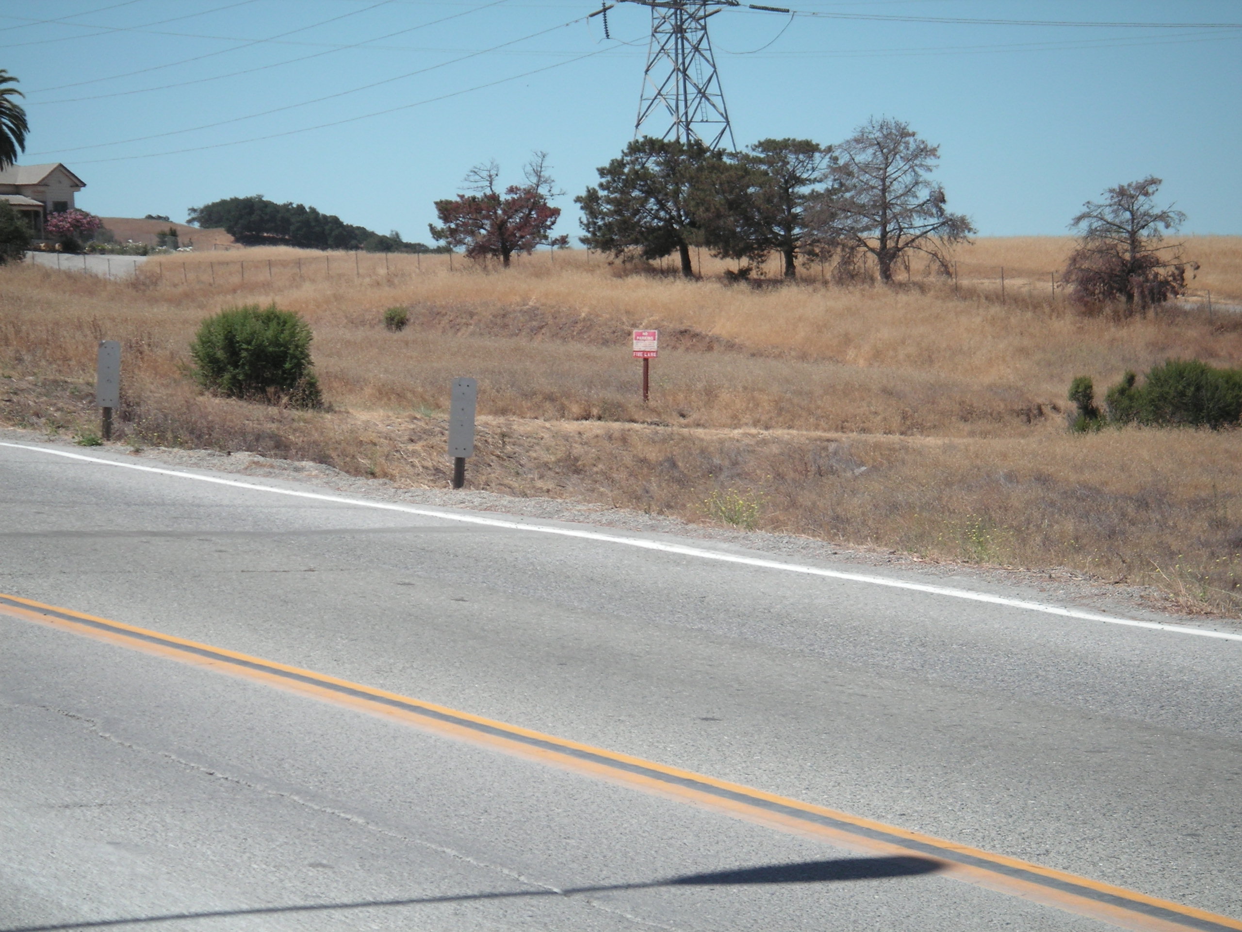
| TheGate.JPG |
This photograph shows the gate
that blocks access to Stevens Creek Blvd. from Rancho San
Antonio. The Fed-Ex truck in the background is on Stevens Creek
Blvd. The UPRR tracks are just past the gate. |
2.4 MB |
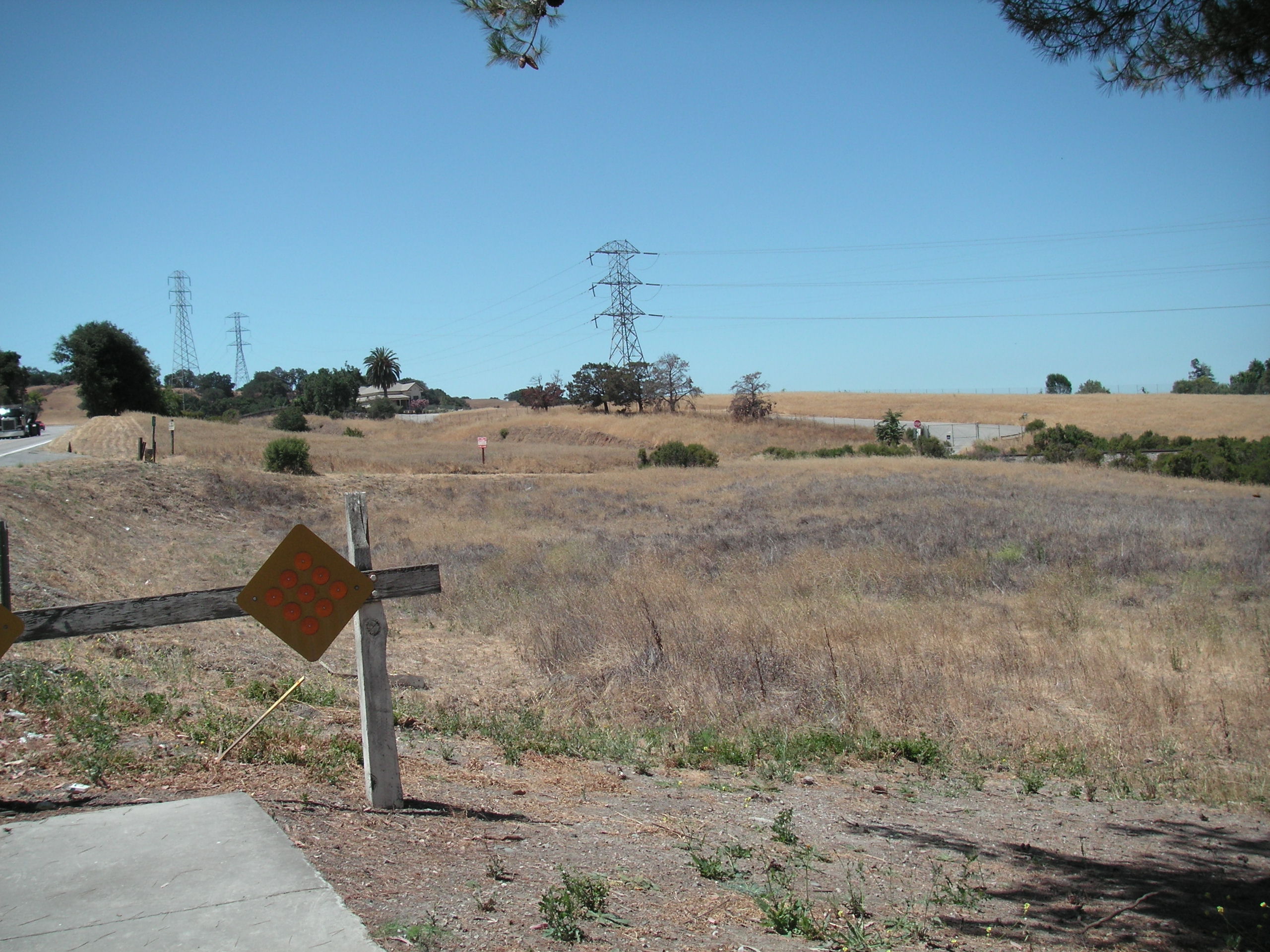
| TrailAtSCB.JPG |
This photograph is taken from
Stevens Creek Blvd. looking towards the Snyder-Hammond house. The
access road is hard to see from this angle, but is evidenced by the
bushes along it and the red/white sign in the center. |
1.1 MB |
| ViewSCBtoHouse.JPG |
This is another picture taken
from Stevens Creek Blvd. looking up towards the Snyder-Hammond
House. Again, the access road from SC Blvd. is difficult to see,
but is evidenced by the red/white sign and a couple bushes about
mid-high on the picture. The access road is also visible on the
other side of the UPRR tracks as the grey patch on the right side. |
860 kB |
|
Slideshow of a train |
This slideshow of photographs shows the typical arrival of a Union Pacific train coming up to the cement plant. Captions on the photos should help to tell the story. | 1.1 MB |